Crater Lake To Stanley, Day 15 : Curiosity
July 24, 2009 Filed under Curious
It’s mid-morning, and I’ve been slogging along the final, massive uphill climb towards Stanley for a couple of hours already. I pull off by the side of the road at a turnout to catch my breath and gulp from the dwindling water supply in my luggage, and as I’m recovering, I notice an information kiosk. It’s a little column of rocks and mortar with a flat space on top like a podium, and a thick sheet of scratchy plastic screwed down to it. Beneath the semi-transparent plastic is a diagram of the valley I’m climbing out of, and a few paragraphs talking about what the early prospectors and expeditions saw when they came stumbling through almost 200 years ago.
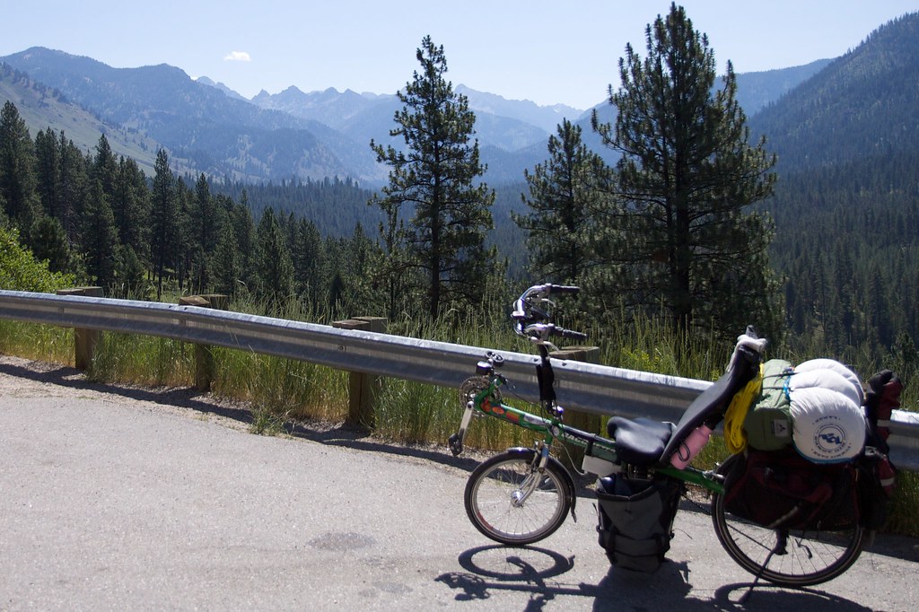
According to the diagram, the jagged mountains in the distance are the Sawtooth Range. I feel a mixture of excitement and disappointment that I am in physical sight of my destination – the planned end of my bicycle ride. Now that I am so used to moving, what will it be like to stop?
The road keeps going up, and gets even steeper. Since the morning I have had the bike set to the lowest possible gear, and now that gear isn’t low enough. I have to push harder than I want to with every pedal stroke, and most of the time I use the foot-clips to pull up on the opposite pedal at the same time, trying to spread the fatigue over both sets of leg muscles. It helps, but not a lot, so I rest frequently.
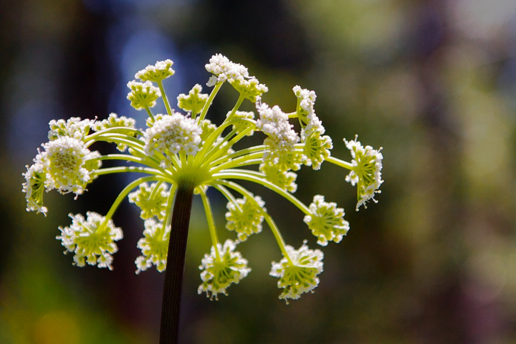
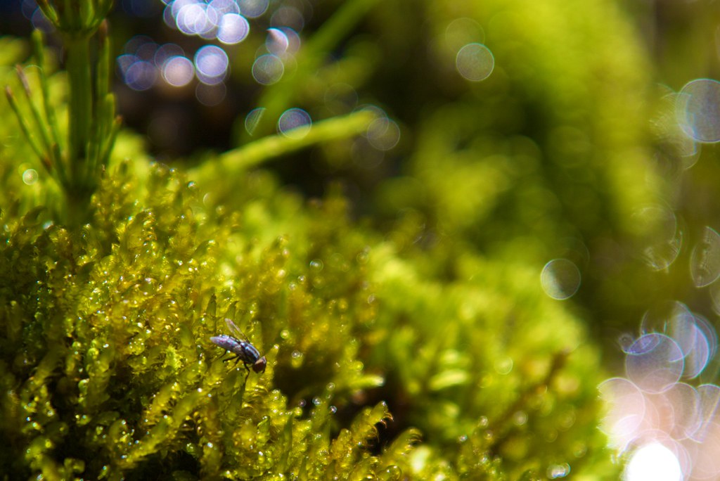
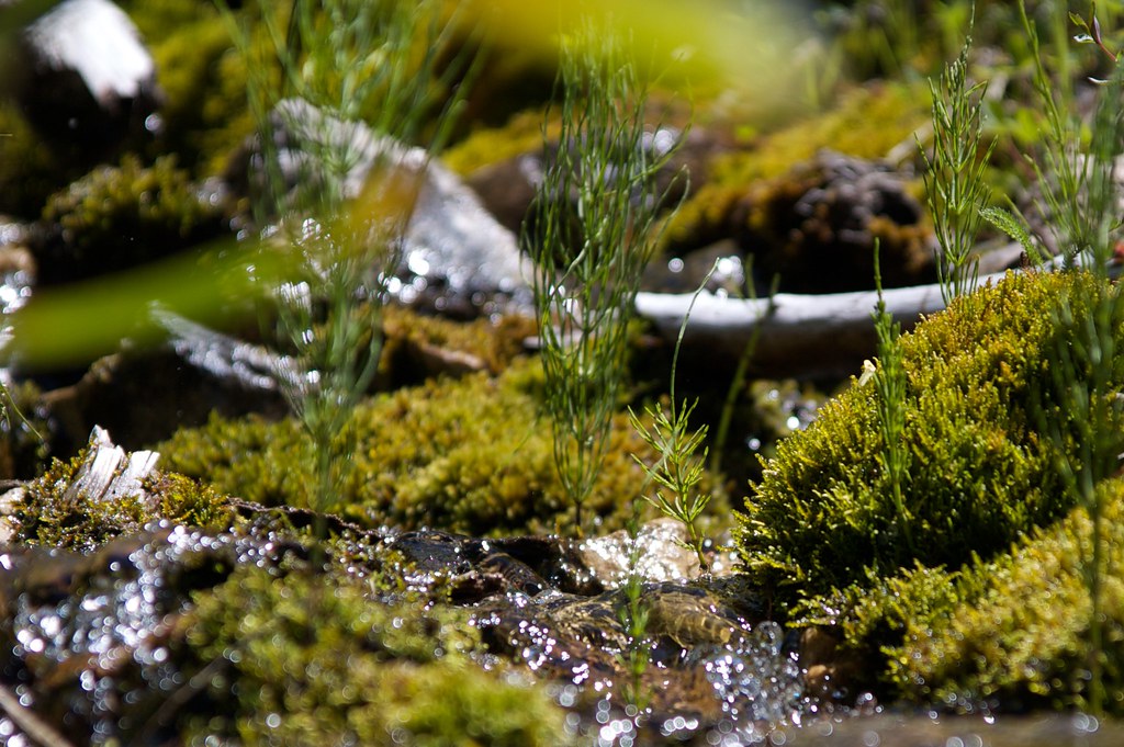
But with each rest stop I take, I look around and see another interesting variation of the terrain. The mountains are hissing with a thousand tiny snowmelt streams, and snapping with a billion lively insects. In places the terrain is so compressed and segmented that it appears to have been laid out by a team of landscape artists, twisting each tree and placing each rock just so, like the decorations in a mini-golf course or a theme park, for maximum impact. Each chunk of meadow seems tailored to fill the irregular space it occupies, between faces of sheer grey rock or mounds of skree. Each river is an intricate succession of pools and waterfalls, wound expertly around the boulders, fallen trees, sandbars, pockets of eroded rock, and the embankment of the road.
Evidence of real design – human design – is visible in the road itself. Wherever the tiny streams threaten to flood the road, the builders have very cleverly buttressed it with layers of gravel and large stones, so the water drains harmlessly into the ground and pops up in some more convenient place downhill. The road here really is a kind of technical marvel.
I pass by a sliver of valley that has choked up with water and grass, and hear a riot of frogs. I pass by a grassy clearing dotted with multicolored flowers that resembles an enchanted meadow in some fantasy novel, except that it’s on a forty-five-degree slope. I pass through a V-shaped valley crowded with low green bushes, punctuated with the blackened spires of trees burned by some decades-past forest fire, making the whole area resemble a gigantic pincushion.
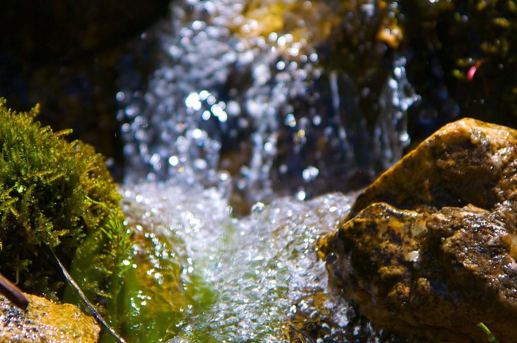
Eventually the sights overwhelm me and I decide to stop and spend an hour or so photographing one of the snowmelt streams in detail.

Once I have finally pedaled to the top of the mountain pass, the terrain opens into a long plateau, divided into wide sections by thick bands of forest. The road plows a corridor straight across the bands, and the clouds are long and narrow, so the entire landscape is laid out along horizontal and vertical lines. It’s an effect I last saw while driving through the Yukon.

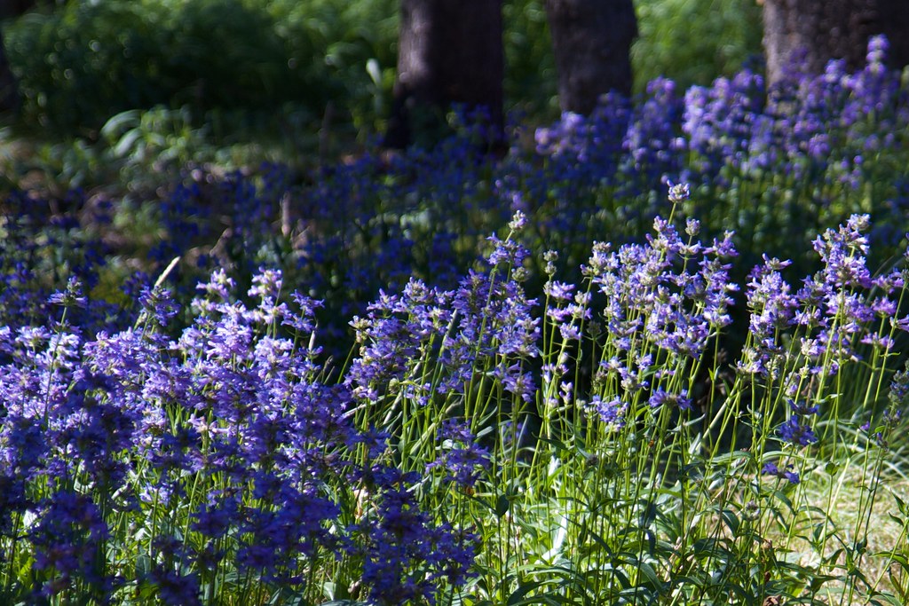
Up here there is space for the flowers and trees to spread out a bit.
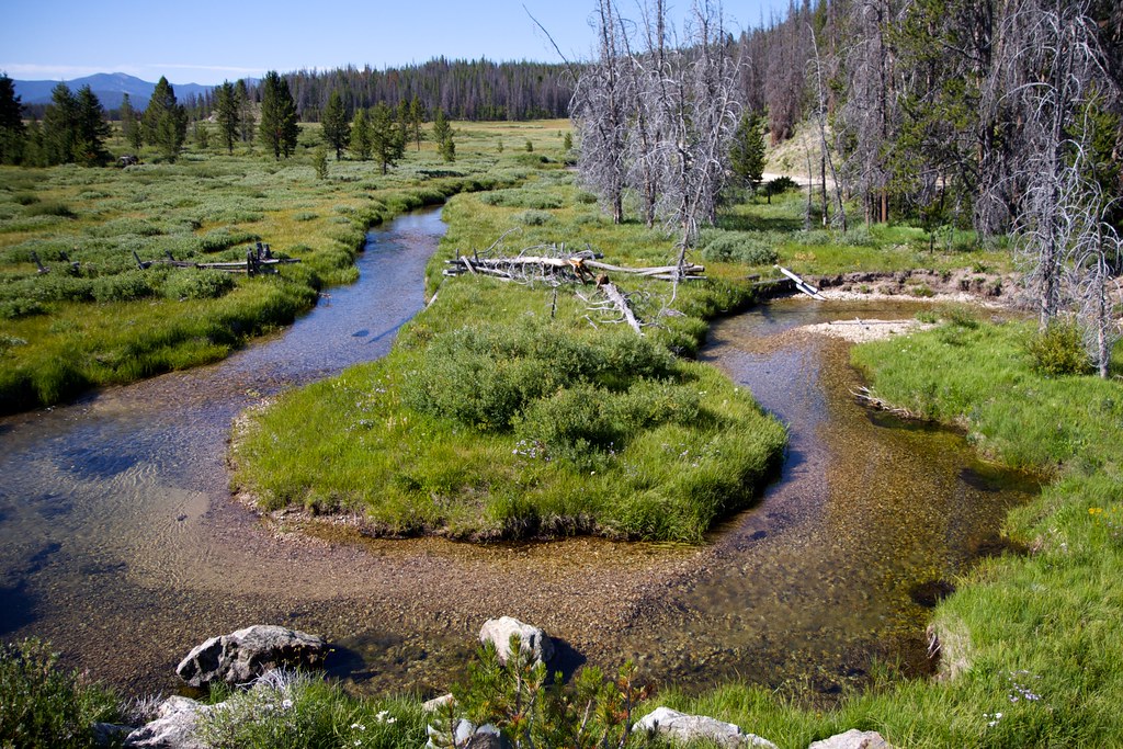
… And the ground is flat and solid enough for the rivers to do a bit of actual meandering.